Verbeek, R. D. M.
Krakatau. Album bevattende 25 teekeningen in kleuren van de verwoeste gedeelten van Straat Soenda, genomen twee maanden na de uitbarsting van Krakatau. Uitgegeven op last van Zijne Excellentie den Goeverneur-Generaal van Nederlandsch-Indie. [AND] Krakatau. Eerste gedeelte -Tweede gedeelte. [Complete text].
Brussel, Nationaal Aardrijkskundig Genootschap, [N.D. but 1885] [AND] Batavia, Landsdrukkerij, 1884-1885. Two parts in two. Atlas: Very large oblong portfolio (40.0 x 59.0 cm), title page, index (contents), and 25 fine chromolithographs, finished by hand, on nine plates. Original red cloth with gilt short-title on the front board. Patterned endpapers. Text volume: 8vo (25.7 x 17.4 cm). 693 pp. [viii, 100; xxxix, 546]. Slightly later green half cloth over marbled boards. Spine with gilt title. Brown endpapers.
Written by the Dutch geologist and vulcanologist Rogier Diederik Marius Verbeek (1845-1926). The work deals with the cause and results of the (in)famous 1883 eruption of the volcano forming the island Krakatau (Karakatoa), which Verbeek witnessed, together with the subsequent tsunami, which killed over 36,000 people and is reminiscent of the 2005 Christmas sea-quake tsunami off Sumatra. The plates offer stunning views of Krakatoa, and other islands in the Sunda Strait, damaged by the eruption and tsunami. This set comprises the complete text and views. A later (1886) published album with maps is not included. The second text volume is very uncommon, al other parts are rare to very rare. Pictorial palaeontological bookplate of the Dutch vertebrate palaeontologist Dirk Albert Hooijer (1919-1993) on the front paste-downs, and his autograph in the top margin of the title pages. Some shelf-wear; album binding weak, the endpapers cracked; rear inner joint of the text volume partly broken, a few short tears to the lower margin. Otherwise, a very good set. Bastin and Brommer, p. 209 (not recording the maps).
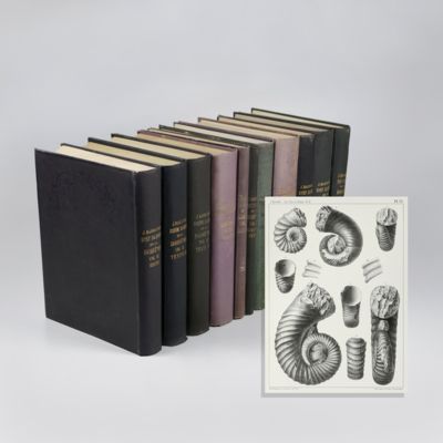
![Krakatau. Album bevattende 25 teekeningen in kleuren van de verwoeste gedeelten van Straat Soenda, genomen twee maanden na de uitbarsting van Krakatau. Uitgegeven op last van Zijne Excellentie den Goeverneur-Generaal van Nederlandsch-Indie. [AND] Krakatau. Eerste gedeelte -Tweede gedeelte. [Complete text].](https://www.schierenberg.nl/media/cache/product_thumb/76577/76577_x.jpg)

![image for Mémoires pour servir à l'histoire naturelle des Pyrénées, et des pays adjacens. [AND] Suite des mémoires pour servir à l'histoire naturelle des Pyrénées, et des pays adjacens.](https://www.schierenberg.nl/media/cache/product_thumb/42052/42052.jpg)
![image for Klimmen en dalen - Ascending and Descending [Fine facsimile print].](https://www.schierenberg.nl/media/cache/product_thumb/71460/71460_x.jpg)
![image for Twaalf vogels - Twelve Birds [Fine facsimile print].](https://www.schierenberg.nl/media/cache/product_thumb/71466/71466_x.jpg)
![image for Ocean and river gardens: a history of the marine and fresh-water aquaria, with the best methods for their establishment and preservation. With twenty coloured plates from life. Part I. Ocean gardens. Part II. River gardens. [Complete].](https://www.schierenberg.nl/media/cache/product_thumb/70578/70578_x.jpg)
![image for Een oud schipper, van Monickendam.... [Rare Pamphlet on the Eighty Years' War].](https://www.schierenberg.nl/media/cache/product_thumb/74163/74163_x.jpg)
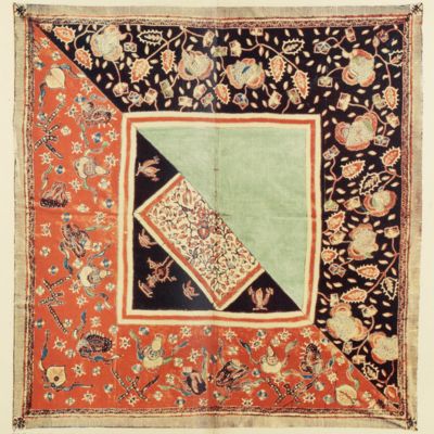
![image for [Auvergne] Itinéraire de Clermont au Puy de Dome, ou description de cette montagne et de la Vallée de Royat et Fontanat; seconde edition. [AND] Two other papers on the geology of Auvergne, by A. C. P. F. Von Lasaulx, and by J. B. Bouillet, bound in.](https://www.schierenberg.nl/media/cache/product_thumb/66670/66670_x.jpg)
![image for Vogel/vis - Bird/Fish [Fine facsimile print].](https://www.schierenberg.nl/media/cache/product_thumb/71463/71463_x.jpg)
![image for Résultats des explorations zoologiques, botaniques, océanographiques et géologiques entreprises aux Indes Néerlandaises Orientale en 1899-1900, à bord du Siboga sous le commande de G. F. Tydeman, publiés par Max Weber. Livraison 1-148. [All published].](https://www.schierenberg.nl/media/cache/product_thumb/51581/51581_x.jpg)
![image for Boven en onder - Up and Down [Fine facsimile print].](https://www.schierenberg.nl/media/cache/product_thumb/71456/71456_x.jpg)
![image for Ananas de Ripley [Pine apple from La Belgique horticole. Journal des serres et des vergers].](https://www.schierenberg.nl/media/cache/product_thumb/70925/70925_x.jpg)
![image for [Original watercolour sketches of French landscapes]](https://www.schierenberg.nl/media/cache/product_thumb/70046/70046_x.jpg)
![image for Waterval - Waterfall [Fine facsimile print].](https://www.schierenberg.nl/media/cache/product_thumb/71461/71461_x.jpg)
![image for Ruiter - Horseman [Fine facsimile print].](https://www.schierenberg.nl/media/cache/product_thumb/71465/71465_x.jpg)
![image for Documents decoratifs. Planche 51. [Bijoux - Jewelry]](https://www.schierenberg.nl/media/cache/product_thumb/73317/73317_x.jpg)


